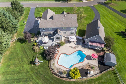
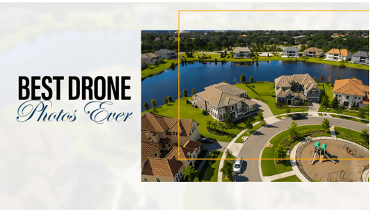
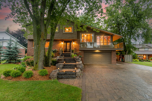
Real estate listings have traditionally relied on still images and videos shot from the ground to showcase properties to prospective buyers. However, the emergence of aerial drone photography has revolutionized the way that properties can be presented to buyers. Aerial drone photos and videos offer a unique perspective on properties, providing a bird's-eye view that is impossible to achieve with traditional photography. In addition, drone footage can be used to create engaging and informative virtual tours of properties, providing buyers with a detailed look at a property before they ever set foot inside.
But what are the potential cost savings of using aerial drone photography in the real estate listing process? In this article, we'll explore the market benchmarking of using aerial drone photography in real estate, and how it can lead to cost savings for real estate agents and their clients.
Market Benchmarking: According to a survey conducted by the National Association of Realtors (NAR), the use of aerial drone photography in real estate listings has increased by 37% in the past year. This increase is likely due to the numerous benefits that aerial drone photography provides over traditional photography methods.
One of the primary benefits of aerial drone photography is its ability to showcase a property's features and amenities in a way that traditional photography simply cannot. With aerial drone photography, real estate agents can capture stunning views of a property's surrounding area, highlighting its location and proximity to nearby attractions. This can be particularly helpful for properties located in desirable areas, as it can help to increase interest from prospective buyers.
Another benefit of aerial drone photography is its ability to save time and money for real estate agents and their clients. Traditional photography methods often require multiple trips to a property to capture the necessary images and videos, which can be time-consuming and expensive. With aerial drone photography, real estate agents can capture all of the necessary footage in a single visit, reducing the amount of time and money required to complete a listing.
In addition to these benefits, aerial drone photography can also lead to increased sales prices for properties. According to a study conducted by MLS statistics, properties listed with aerial drone photography sold for an average of 68% faster than those listed with traditional photography methods. This faster sale time can lead to increased sales prices for properties, as buyers are often willing to pay a premium for properties that are in high demand.
Conclusion: Overall, the use of aerial drone photography in real estate listings can provide numerous benefits for real estate agents and their clients. By showcasing a property's features and amenities in a unique and engaging way, aerial drone photography can help to increase interest from prospective buyers and lead to faster sales times and higher sales prices. With the increasing availability and affordability of aerial drone technology, it's no wonder that more and more real estate agents are turning to this innovative technology to help them sell properties.


